El Río del Norte fascinated Iberians who traversed its banks in their journeys north from México’s mining frontier into Nuevo Méjico in the Sixteenth, Seventeenth, and Eighteenth Centuries. Upon arriving at the river from the south en route to cover the remaining four hundred odd miles to Santa Fe, they crossed the river in the vicinity of El Paso del Norte, present-day Ciudad Juárez, Chihuahua, for the first of several such crossings before reaching their destination. The historical record informs us that the river ran much deeper then in contrast to its condition after dams were built to tame its roaring nature. Spaniards followed segments of ancient trails along the mighty river’s banks, while literally following in the footsteps of the native people who had inhabited the region for several centuries and relied upon its waters as a source of life and a trade highway.
Officialdom in faraway España and in the vice regal metropolis of México decreed that the Crown would maintain the route from Mexico City to Santa Fe as a camino real, one of the royal roads in Spain’s North American empire. El Río Bravo del Norte, as the river was also referred to, and if you’ll permit me a bit of personification, possessed a stubborn and capricious temperament. She showed no indications of civility and cooperation to those who sought suitable crossing points to continue their carretas and herd animals on the trail. Rather, she was more inclined to make the journey as difficult as possible with her floods and swift currents. Her fury soared on several occasions in the Eighteenth and Nineteenth Centuries when she harnessed inordinately enormous rainfall to flood in such a legendary manner as to change great lengths of her riverbed. Formidable is an insufficient adjective to describe the river’s character.
Enter the Twentieth Century. In the Southwest and West, too many of region’s rivers were emasculated due to an extensive Federally-sponsored program of dam construction. While it’s a whole other story to discuss the benefits of dams to generate electricity to power our houses and buildings and smart phones, we also must be mindful of the long-term environmental impact such construction has had on the region. I refer you to Saint Edward Abbey. Cochiti Dam in Sandoval County, New Mexico, and Elephant Butte Dam downstream in Sierra County help regulate the Rio Grande’s flow, as the hydrologists tell us. One consequential aspect of that control becomes painfully evident when the melting snowpack in Colorado does not recharge the river sufficiently, and with the demands on the river for water to irrigate crops and for domestic use in New Mexico, the once mighty Río del Norte displays an unrecognizable portrait of her earlier formidability.

The problem compounds exponentially downstream from El Paso, as Mexico and the United States have signed treaties regulating each nation’s allotment of Rio Grande water. Indeed, the problem has become so pronounced with hardly any flow through the stretch along Estado de Chihuahua and Hudspeth and Culberson Counties that the unenviable nickname “the Forgotten River” has been applied to it. Only well downstream, at the confluence with Río Conchos at La Junta de los Ríos, does the Rio Grande regain its strength to flow through the three major canyons of the Big Bend, one of the most distinctive sites anywhere in Arid America. But many river miles separate Boquillas Canyon from Boca Chica at the downstream mouth of the Rio Grande into the Gulf of Mexico. About a decade or so ago, an issue of Texas Parks and Wildlife magazine featured an aerial photograph on its back cover to emphasize the threats to the Rio Grande’s very existence. From an altitude of perhaps two thousand feet above Boca Chica, a photographer captured the distinctive image of the river’s end—and it wasn’t emptying into the Gulf of Mexico. Several hundred yards of bone dry sand separated the river and the salt water, and the Rio Grande did not have the strength to push on to the finish line. We have mightily mistreated this river.
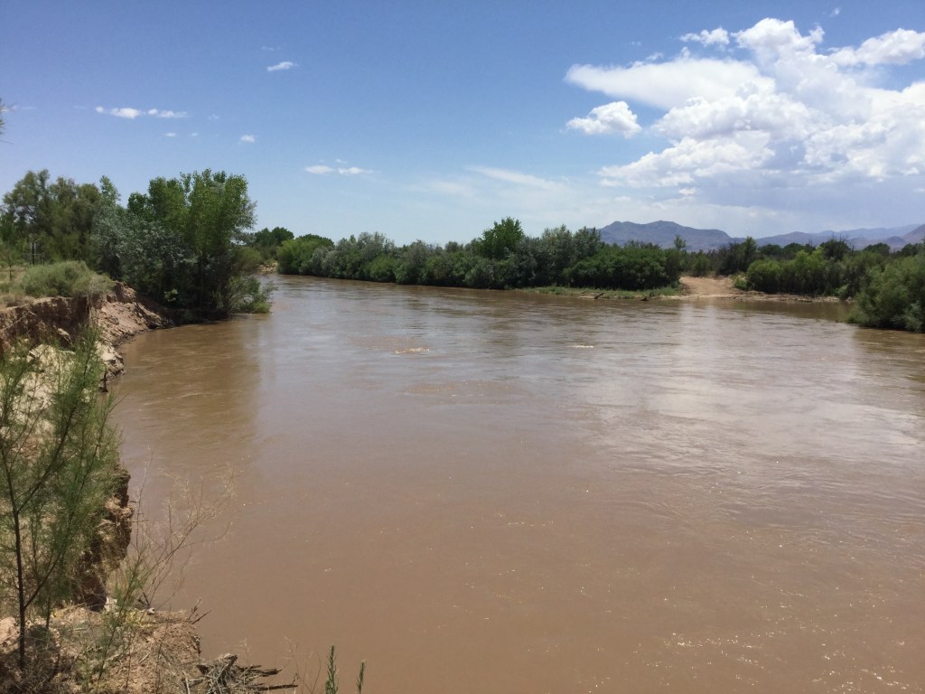
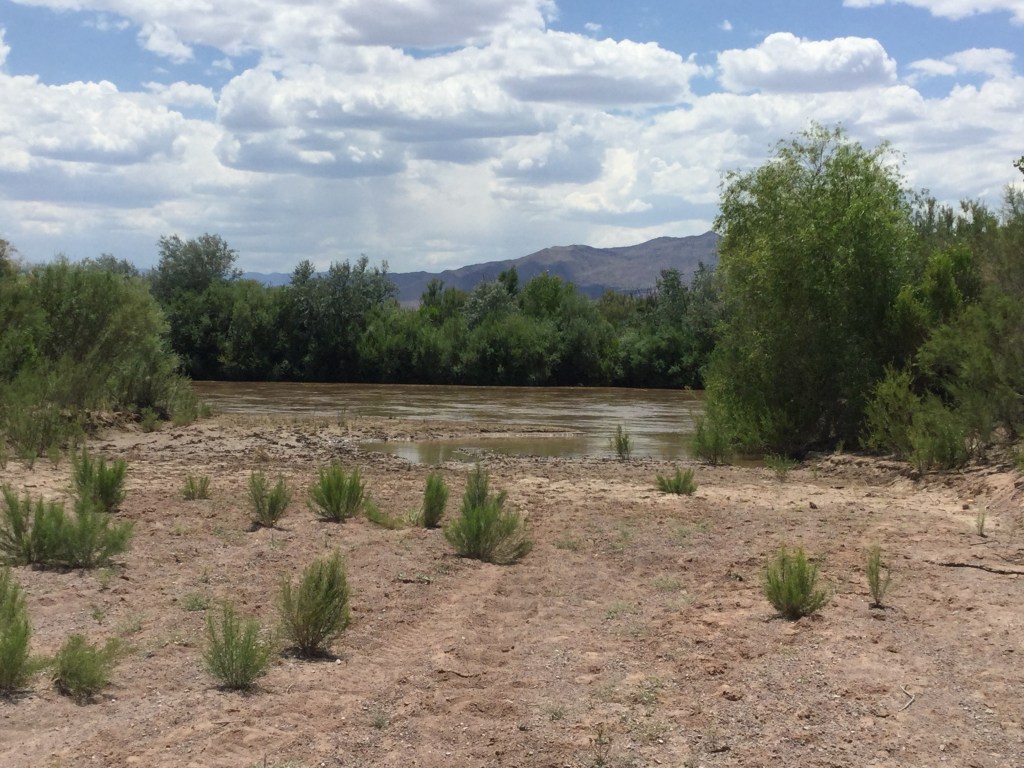
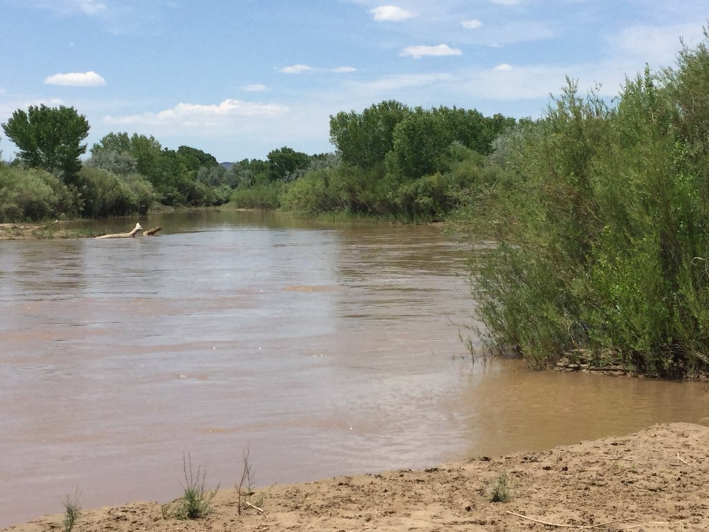
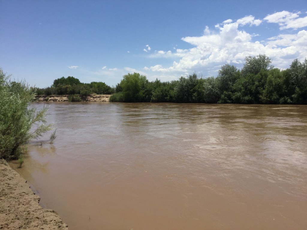
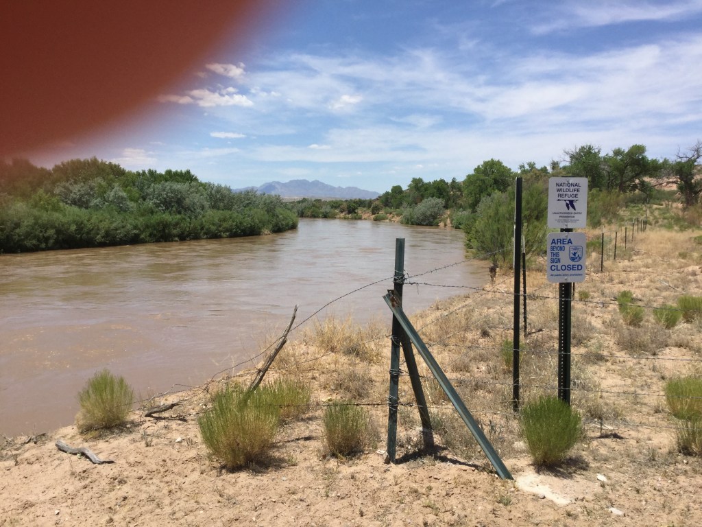
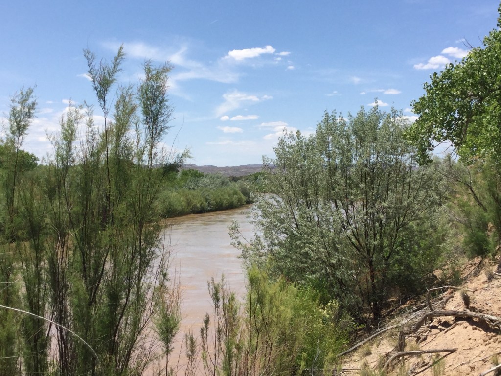
And while I have seen the river in a pitiful state more times than I care to recall, I have also been quite fortunate to stand along its banks or paddle my Old Town canoe in its currents when it flows as it should. So with an eye toward optimism that juxtaposes with the river’s condition and belies the photographs already shown in this tale, I’ll provide a bit of context to explain the significance of these images. On a very warm June 8, 2017, I traveled with two colleagues well off the beaten path in Socorro County, New Mexico, just east of the town bearing that name. We were conducting some fieldwork in search of segments of the camino real along the river’s left bank, that is, on the east side opposite the modern county seat. For me, one the true delights of the day’s excursion was to see for myself for the first time the river in Socorro County while standing on its left shore. While it may not be the Left Bank of Hemingway’s Paris, nonetheless being in its presence impacted me greatly. Of particular importance on that day, the river ran deep, and its current was strong. As I had not previously seen the Rio Grande from this vantage point, I snapped a lot of pictures so the moment wouldn’t be lost. Later in the afternoon upon returning to Los Lunas an hour to the north of Socorro, I replayed the tape in my head and recalled the sights I had seen during the day and counted myself lucky to have been privy to such a gift as the one I had just received. I ardently hope to see many more such treasures.

